From 10m × 10m Sentinel-2 pixels to plant-level digital twins — VersaAgro turns raw satellite imagery into precise, actionable crop health intelligence for every field, every week.
From raw satellite pixels to precise field interventions — four integrated steps powered by patented algorithms and dual-source data validation.
Sentinel-2A/B imagery is ingested automatically every 5 days per satellite — combined for a ~48h revisit window. Raw bands (B4 Red + B8 NIR) are radiometrically calibrated, cloud-masked via SCL layer, and projected to WGS84.
NDVI = (NIR − Red) / (NIR + Red) computed per 10m × 10m pixel. Multi-temporal compositing across 6 scan dates eliminates cloud contamination. Anomaly detection flags cells with >0.15 week-on-week NDVI decline.
Satellite-derived NDVI values are validated and corrected against in-field IoT sensor readings — soil moisture VWC, Leaf Area Index (LAI), and canopy temperature — reducing false-positive stress alerts by 62%.
Each scan cycle updates the field's digital twin: GDD accumulation refreshes, growth stage transitions, yield forecast recalibrates, and harvest window prediction narrows as the season progresses.
Live example from the 847 ha Nebraska soybean pilot. Each zone corresponds to a distinct NDVI region identified by VersaAgro's automated segmentation algorithm.
| Zone | Area (ha) | NDVI Score | NDVI Trend | Soil FC % | Status | Recommended Action |
|---|---|---|---|---|---|---|
| Zone A — North West | 218 ha | +0.031 vs last scan | 87% | Optimal | Continue current schedule. Monitor GDD accumulation. | |
| Zone B — North East | 192 ha | +0.008 stable | 79% | Good | Scout for aphid pressure. Forecast: Harvest Sep 16. | |
| Zone C — South Centre | 165 ha | −0.118 declining | 52% | Moderate Stress | Increase irrigation run-time by 35%. Foliar inspect by Day 3. | |
| Zone D — South West | 147 ha | −0.240 critical | 18% | Critical — Irrigation Failure | Immediate inspection required. Subsurface pipe rupture suspected. Isolate sector valve. Est. loss $48K if unresolved in 72h. | |
| Zone E — East Block | 125 ha | +0.017 improving | 74% | Good | Recovery trend confirmed. Continue supplemental irrigation. |
Every scan cycle updates the field's digital twin parameters — giving you a continuous physiological model of each crop's development state and yield trajectory.
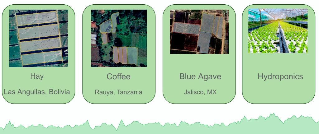
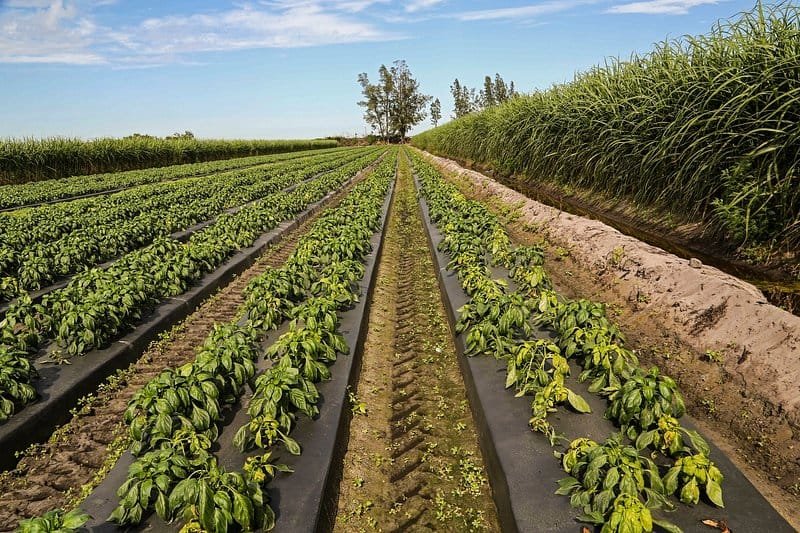
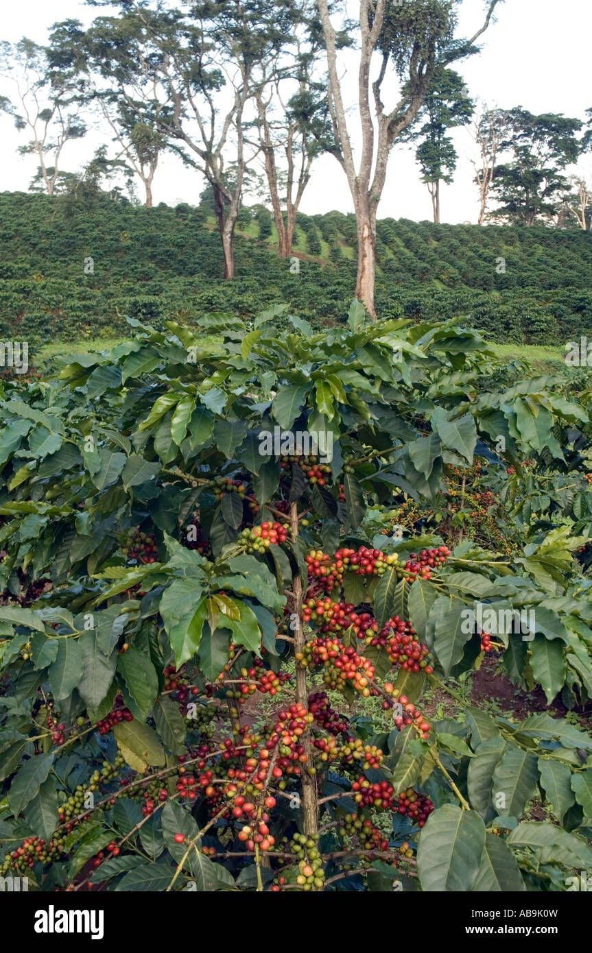
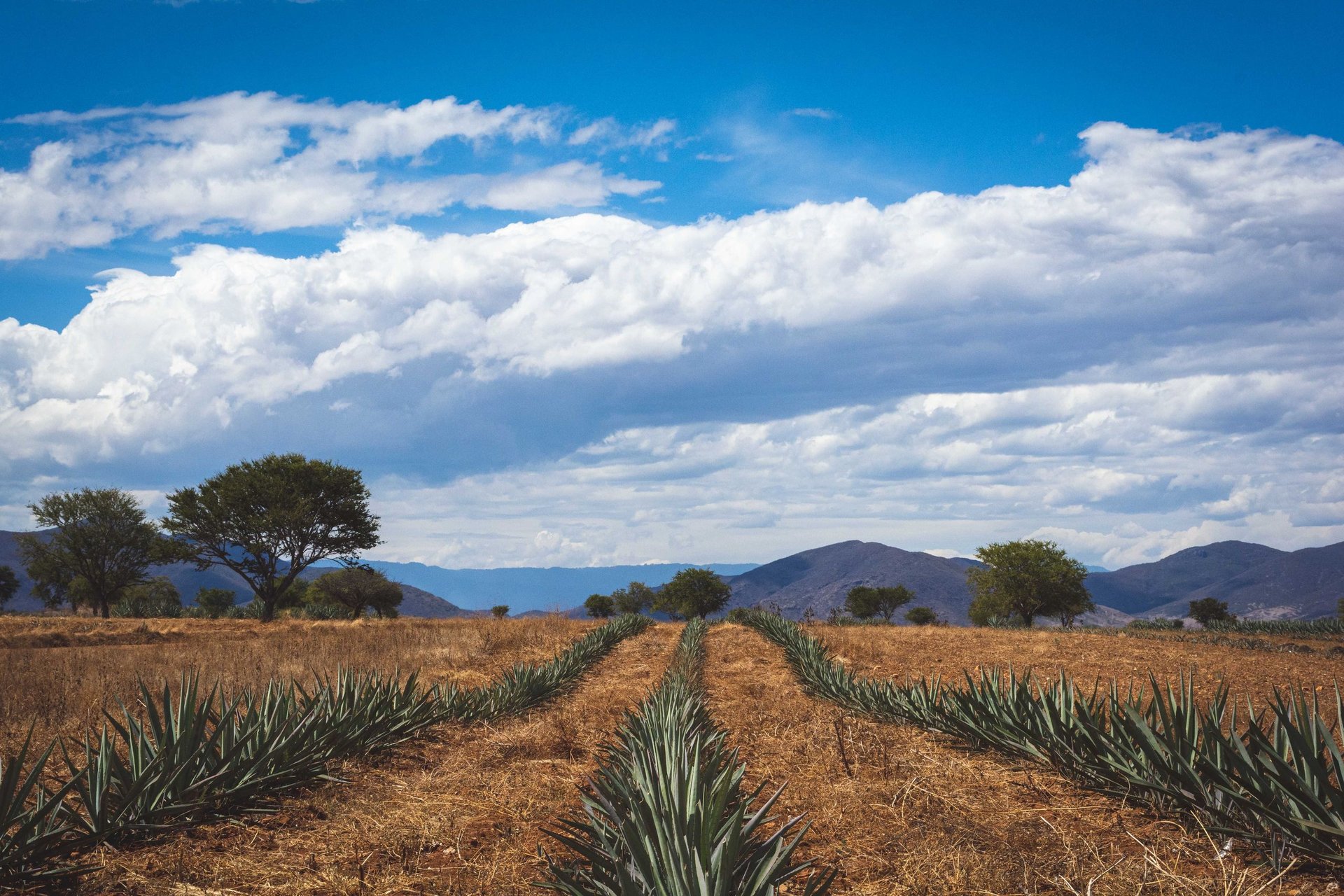
VersaAgro's crop intelligence adapts its models to 120+ species — from dryland cereals to perennial plantation crops and controlled-environment horticulture.
VersaAgro's primary imaging constellation — the ESA Sentinel-2 multispectral mission — delivers the highest freely available ground resolution for vegetation monitoring at planetary scale.
| Mission | ESA Copernicus Sentinel-2A + 2B |
| Spatial Resolution | 10m × 10m (visible + NIR bands) |
| Revisit Frequency | ~5 days per satellite (combined ~48h) |
| Swath Width | 290 km |
| Spectral Bands Used | B4 (Red, 665nm) + B8 (NIR, 842nm) |
| NDVI Formula | (B8 − B4) / (B8 + B4) |
| Cloud Masking | Scene Classification Layer (SCL) |
| Data Projection | WGS84 / UTM Zone (field-matched) |
| Radiometric Calibration | Level-2A Bottom-of-Atmosphere reflectance |
| Archive Depth | 2015–present (10 years baseline) |
| Supplementary Sensors | Landsat 9, PlanetScope (5m), MODIS |
| IoT Validation Sources | Soil moisture VWC, LAI sensor, canopy temp |
| Anomaly Detection Threshold | >0.15 NDVI decline in 7-day window |
| False Positive Reduction | 62% via IoT ground-truth fusion |
| Yield Prediction Error | Within 1.5% of final yield (at R4 stage) |
| Data Latency | <6h from satellite pass to dashboard |
Preview placeholder — the final Kickstarter campaign cut will replace this embed. Latest version: Rangeland VersaAgro Video Pilot Pitch (1:39 · 1080p).
Experience crop intelligence on your own operation — book a demo with one of our agronomic data scientists and receive a sample NDVI analysis of your fields.